


Fostering growth and development in Environmental and related industries
Watershed Management
We offer tailor-made solutions to our clientele
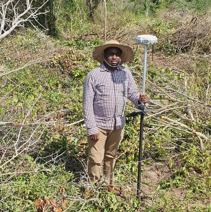
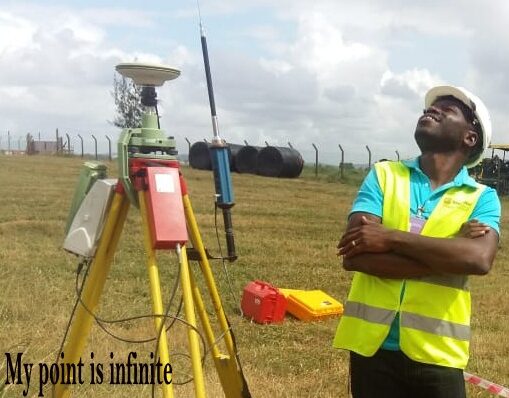
Topographical Surveys
Over twenty years practice/working engagements for our principals
Engineering surveys
We have a wealth of experience hydrology
Hydrographical Surveys and Water management
We have a systematic, documented, periodic and objective process in assessing an organization's activities and services
Environmental Impact Assessments


Our Services
Taking care of your suitability compliance
| Survey |
Topographical SurveyThe application of survey field equipment carries part of the day which then follows the process back in the office for clarity data processing and cartographic data plotting. |
Engineering SurveyThe field data are all computed and supplied for design purposes which include roads, bridges, buildings among others. |
||
Geographical Information System (GIS) AnalysisThe system allows you to solve complex location-oriented problems, explore and understand your data from a geographical perspective, through spatial analysis by the use of latitude and longitudes. |
PlanningGuiding and directing the use and development of land, urban environment, infrastructure, and services to ensure economic development, quality of life, natural resource management, and efficient operation of infrastructures for sustainable and attractive living. |
|||
Cadastral SurveyAs a consultant in this field we carry out precise Cadastral Surveying and provide the end results as specified by the client i.e. either deeds or titles. |
Hydrographic/Bathymetric SurveyThis is the science of determining the features of an underwater area. |
|||
| Environmental, Social Safety &Health (ESS&H) |
Impact Assessment and surveysOur goal is to help clients to manage and reduce potential risks before they become critical issues. |
Environmental & social GovernanceOur services are designed to develop performance indicators of impacts through operation of projects value chain on the environment, local communities, and governing benchmarks, ensuring responsible and sustainable practices are evaluated. |
||
MonitoringWe will implement monitoring as an integral part of a project's governance scheme. |
Audits and InspectionOur goal is to identify potential environmental risks and recommend improvements to minimize negative impacts. We also evaluate organization's performance against agreed standards for labor, health and safety, business ethics, in relation to social performance. |
|||
Research and DevelopmentIn innovation, we will introduce new ideas to an organization, which can be useful and valuable. Innovation can be disruptive, incremental, or sustaining. |
Technology and AI SolutionsPAGE is therefore keeping up with advanced technologies that use algorithms, data analysis, and computational power to automate processes, make predictions, and learn from data without explicit programming. |
|||
| Photo Gallery |
SurveyClick here for the photos |
Environmental & social GovernanceClick here for the photos |
TechnologyClick here for the photos |
|
Experts Past Engagements


Gibb International

gallant
water Resource Authority

National Museum

Biota

Nema

Tullow

Kipya
Rift Valley Railways
Kridha

Ministry of Education
Request for
Marine and Ecological services
This includes
- Provisioning services, such as food and water.
- Regulating services, such as flood and disease control
- Supporting services, such as nutrient cycling, that maintain the conditions for life on Earth.
Site planning survey
In this type of survey we combine both boundary and topographic surveys.
- We do this by Verifying property line location and dimensions.
- The main objectives of a site survey include: Data Gathering, Design and Planning.
Topographical survey
The element of physical capture of ground data while in the field with the essence of developing a topographical outline of the surface occupied.
Occupational Safety and Health Assessment
We do this by aiming to identify, assess, and control high-risk occupational hazards in the workplace for improving the health and safety of workers.
Consultancy
Offering of good advice to our esteemed customers is our greatest policy.
Other Works
- Environmental Audits.
- Hydrographic Survey,Global Navigation Satellite System (GNSS) solutions and Data conversion.
- GIS Analysis.
- Environmental Impact Assessments
- Sectional property
Send your Request
Our team
We are a large team, but some of our team members are
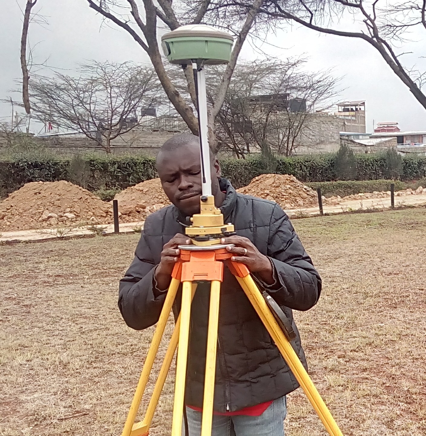
Stephen Ronoh
Surveyor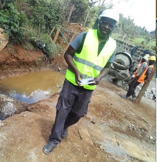
Michael Barasa
EnvironmentalManagerIs an environmental expert holding a master degree in Environmental…
Geoffrey Okoth
DirectorGeoffrey Okoth is a Land Surveyor and Environmental Consultant with…
Polycarp Odhiambo
DirectorPolycarp Odhiambo is a Land Surveyor with a Bachelor of…
Clients Testimonials
We are grateful to our esteemed clients for believing in us

I am proud of you guys, I expected anything but you gave us the best, We will always count on you.
Isaac Njoroge
( Redhill flowers )
I am so glad I decided to work with you surveyors, I really appreciate your good work.
Stella Bwigoz
( Hotaru Engineering )
Thank you so much Page Geomatic Surveyors for the excellent work done. Keep up with your great work. I have no regrets
Kahi Moses
( Fumza Ltd )Latest News
Know what is around you today
Land value Index
This is the press statement made by the Institute of Surveyors in Kenya. Parliament enacted the land Value index.
Read More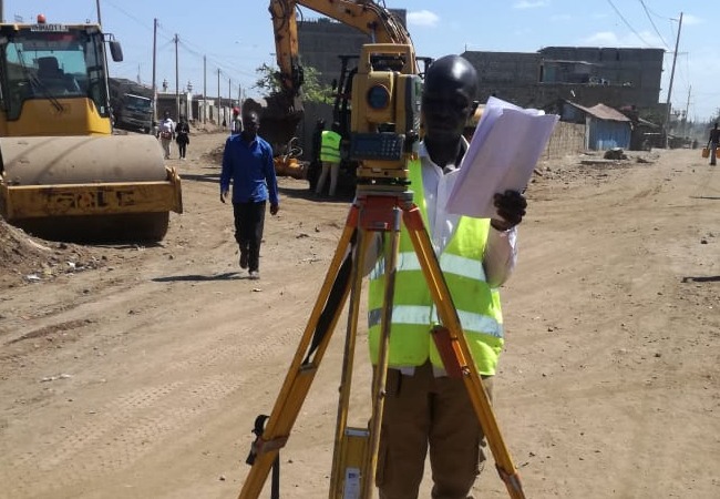
Kayole Road
We are finally working on the linking of spine road to kangundo road at matopeni in Kayole. This road is expected to be completed…
Read More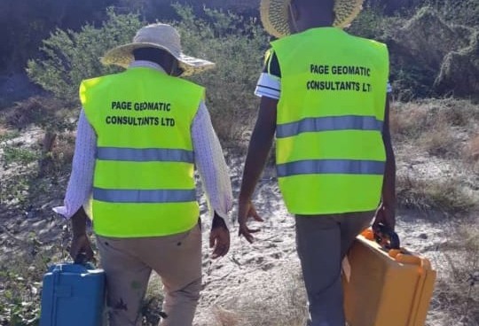
Licences To surveyors
Finally the list of licensed surveyors has been released by the land surveyors board that regulates the surveying profession in Kenya.
Read More